


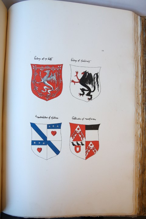
![[Antique print, cartography] Map of Scotland/Schotland, published 1810.](https://arinevandersteur.nl/wp-content/uploads/PR120687_1-scaled-1.jpg "[Antique print, cartography] Map of Scotland/Schotland, published 1810")
![[Antique print, cartography] Map of Scotland/Schotland, published 1810.](https://arinevandersteur.nl/wp-content/uploads/PR120687_2-scaled-1.jpg "[Antique print, cartography] Map of Scotland/Schotland, published 1810")
![[Antique print, cartography] Map of Scotland/Schotland, published 1810.](https://arinevandersteur.nl/wp-content/uploads/PR120687_1-scaled-1-356x356.jpg)
![[Antique print, cartography] Map of Scotland/Schotland, published 1810.](https://arinevandersteur.nl/wp-content/uploads/PR120687_2-scaled-1-356x356.jpg)
Lodovico Guicciardini (1521-1589)
[Antique print, cartography] Map of Scotland/Schotland, published 1810.
SKU: PR120687
Hand colored etching on paper; plate mark: 440 x 309 mm, total: 465 x 329 mm; some staining and some rust traces and light foxing, otherwise in very good condition. Mounted on a sheet of thick paper with paper tape.
€ 108,90 (€ 90,00 ex. btw)
Out of stock

![[Original etching/ets] Defeat of the Zeeland and Scottish regiment before the battle of Nieuwpoort; slag bij Leffingedijk; 1600.](https://arinevandersteur.nl/wp-content/uploads/66274_1-scaled-1.jpg)
![[Antique prints, cartography] 2 Maps of Belgium and Luxemburg, published ca. 1780.](https://arinevandersteur.nl/wp-content/uploads/PR120691_2-scaled-1-100x100.jpg)
![[Antique print, cartography] Mons/Bergen, published ca. 1610.](https://arinevandersteur.nl/wp-content/uploads/PR120686_1-scaled-1-100x100.jpg)