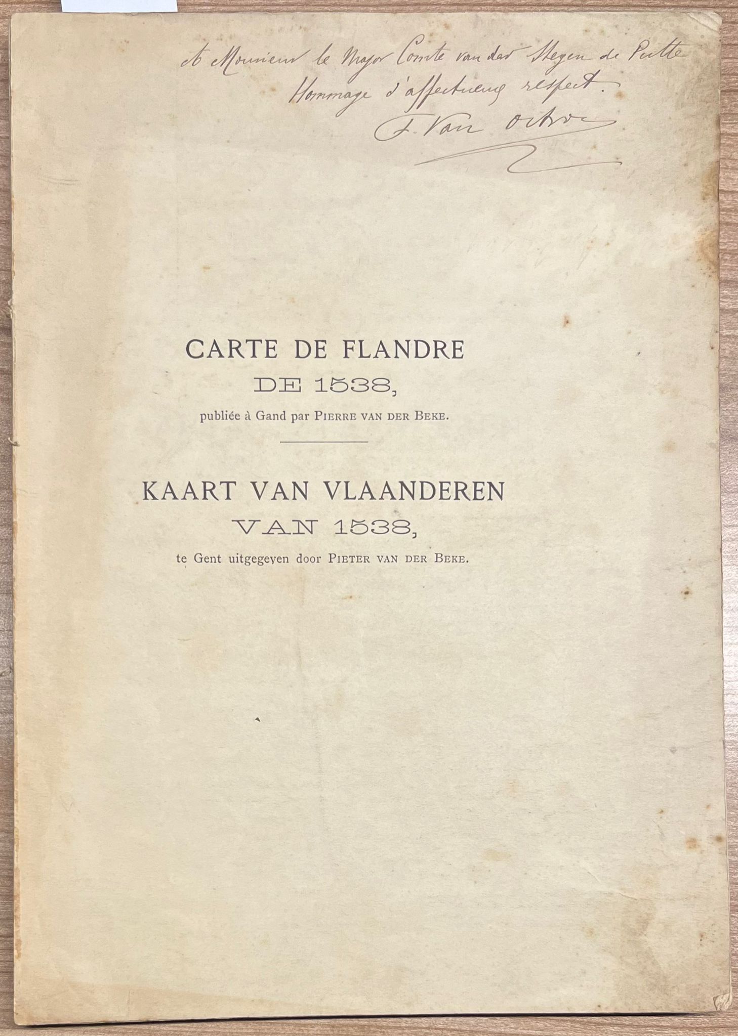
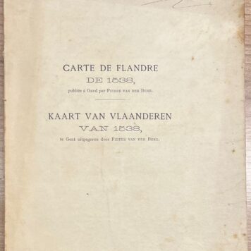
Cartography, 1897, Flanders | Carte de Flandre de 1538, publiée à Gand par Pierre van der Beke / Kaart van Vlaanderen van 1538, te Gent uitgegeven door Pieter van der Beke. Gand/Gent, Imprimerie/Drukkerij V. van Doosselaere, 1897, 145 pp.
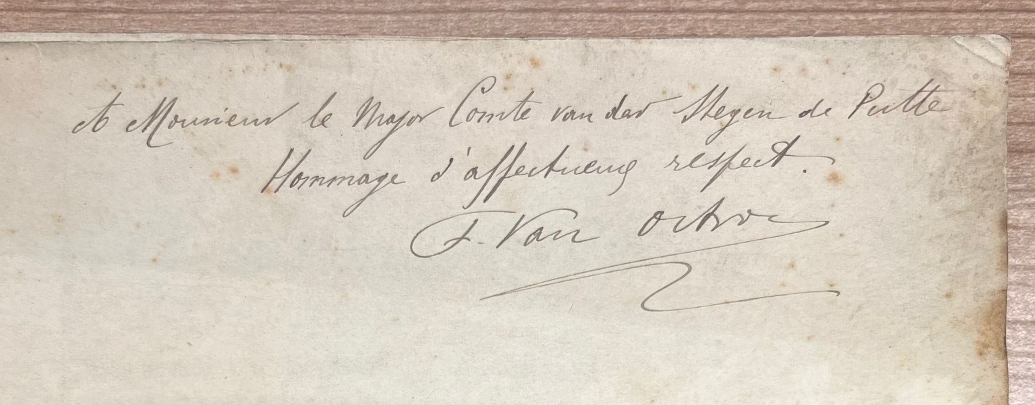
Bilingual edition on the map of Flanders that was published in 1538 by Pieter van der Beke, a southern Dutch cartographer who worked in Ghent during the first half of the 16th century. Manuscript note on first front endleaf: “A Monsieur le Major Comte van der Stegen de Putte / Hommage d’affectueux respect. / F. Van Oct[…]”
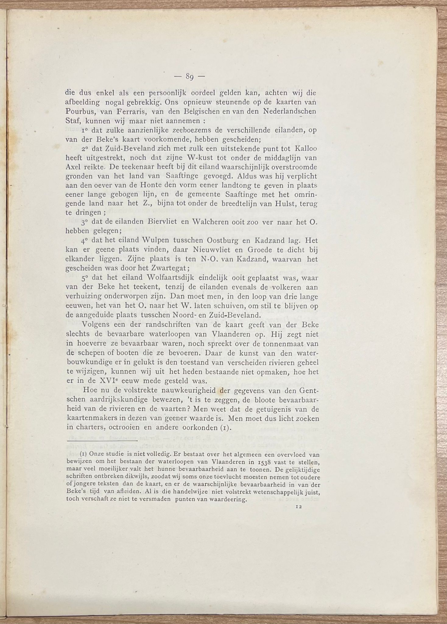
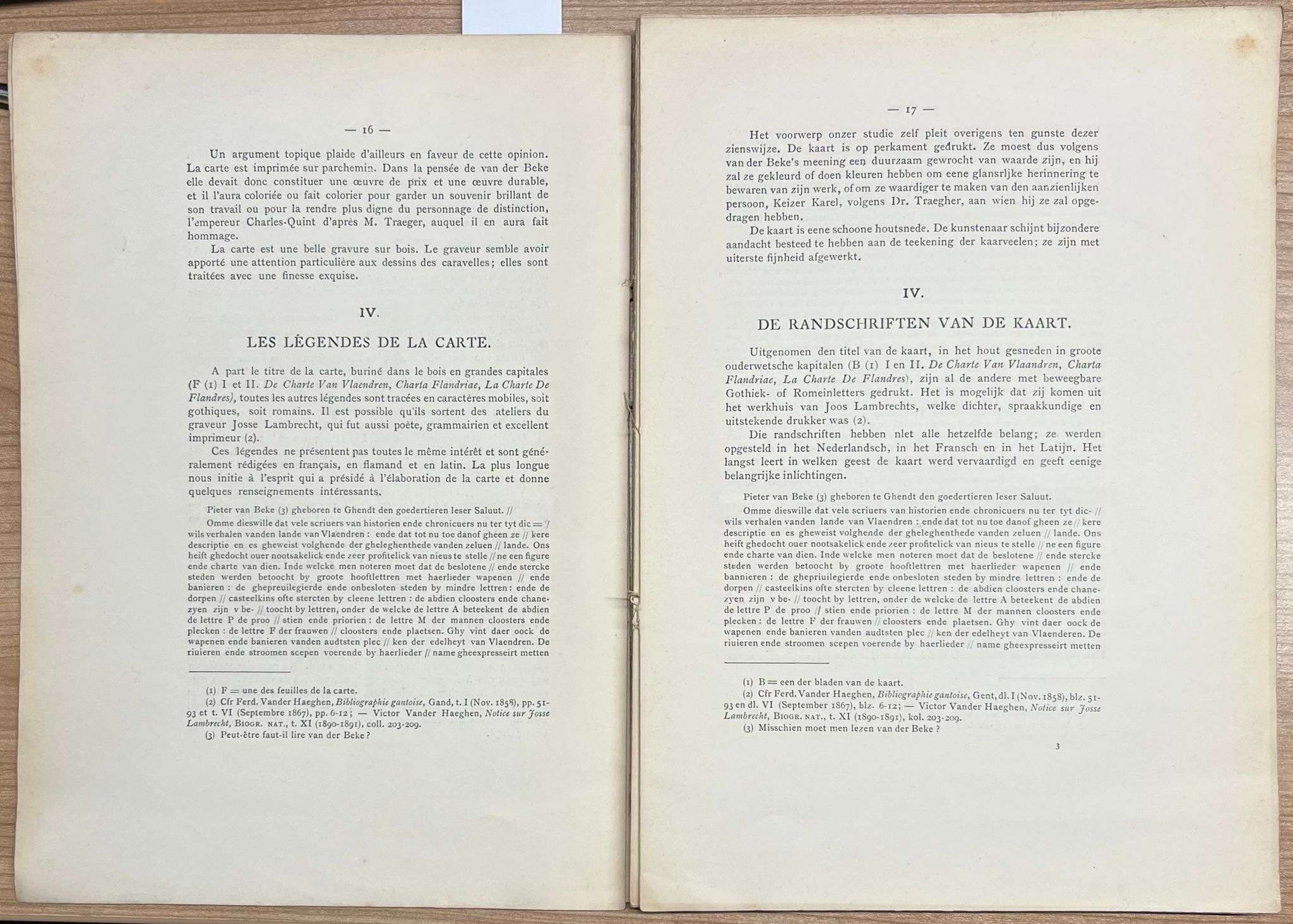
This book contains a folding genealogical family tree of Van der Beke, tables, and further information on the various depicted cities and the map itself. The book does not contain the map.
On May 8, 1538, Pieter de Keysere published Van der Beke’s De Charte van Vlaendren in Ghent (“in officina Petri Caesaris”). It is the oldest printed map of the county of Flanders. The map is oriented to the south and has a scale of 1:205,386. The whole was carved in wood by Lucas van Quickelberghe and printed on four parchment sheets, which together measure 989 mm x 750 mm. The printing was touched up with watercolor. Furthermore, the map is decorated with four bears in the corners and with the arms of the four oldest noble families of Flanders, as well as the arms of Emperor Charles V, which can be found on Gerardus Mercator’s map of the county of Flanders of 1540.
The Germanisches Nationalmuseum in Nuremberg holds the only known copy of De Charte van Vlaendren. In 1897, the printshop of V. van Doosselaere in Ghent reproduced the map on 1 sheet. The oldest non-printed map representing the county of Flanders dates from 1452, and was discovered in an Italian chronicle.
Flanders – Vlaanderen – Gent – cartography – maps – cartografie – kaarten – bilingual – French – Petrus Torrentius
SKU: 67792
No binding, 28.2 x 19.7 cm. Quires loosened, fragile. Browned paper, some stains on the exterior. Uncut upper edges.
€ 98,10(€ 90,00




![[MANUSCRIPT ON PARCHMENT, FRENCH, LILLE, BEAUMAVET, DU COUDRAY] Stuk in het Frans, betreffende financiële regelingen, Lille, 1722, getekend De Beaumavet, manuscript op perkament, 4 p.](https://arinevandersteur.nl/wp-content/uploads/WhatsApp-Image-2021-03-17-at-15.41.12-356x356.jpeg)
![[MANUSCRIPT ON PARCHMENT, FRENCH, LILLE, BEAUMAVET, DU COUDRAY] Stuk in het Frans, betreffende financiële regelingen, Lille, 1722, getekend De Beaumavet, manuscript op perkament, 4 p.](https://arinevandersteur.nl/wp-content/uploads/WhatsApp-Image-2021-03-17-at-15.41.13-356x356.jpeg)
![[Manuscript Military, French, 1792] Brief in het Frans van Charles Wolff, dd. Quartier Generaal I Loya, 11-1-1797, manuscript, 4°, 4 pag.](https://arinevandersteur.nl/wp-content/uploads/WhatsApp-Image-2021-04-21-at-13.19.19-356x356.jpeg)
![[Manuscript Military, French, 1792] Brief in het Frans van Charles Wolff, dd. Quartier Generaal I Loya, 11-1-1797, manuscript, 4°, 4 pag.](https://arinevandersteur.nl/wp-content/uploads/WhatsApp-Image-2021-04-21-at-13.19.20-356x356.jpeg)

![Set of 2, [s.a.], Theatre | Oeuvre complètes de Molière, Garnier frères, Paris, [s.a.], 2 volumes.](https://arinevandersteur.nl/wp-content/uploads/2024/01/Afbeelding-van-WhatsApp-op-2024-02-05-om-09.53.09_3a082f8f-100x100.jpg)
![Rare School Book, [ca. 1795], French | Histoires de la Bible: Publiées en Faveur de la Jeunesse par Jean Hubner (...) Première partie. Qui contient Cinquante-Deux Histoires du Vieux Testament. Nouvelle Edition, plus correcte que les précédentes. A Leide, Chez Luzac et Comp., 1795, 271+(1)+210+(10) pp.](https://arinevandersteur.nl/wp-content/uploads/2023/11/Afbeelding-van-WhatsApp-op-2023-11-17-om-14.52.25_af7ccf71-100x100.jpg)